#167 Viola Johnson farm - drawn maps
1740 (Earliest/Latest dates)
11" H
X
8.5" W
Measurement Notes: two pages
Coll. 003 Vol. 002 Doc. 101 #167 Viola Johnson farm - drawn maps
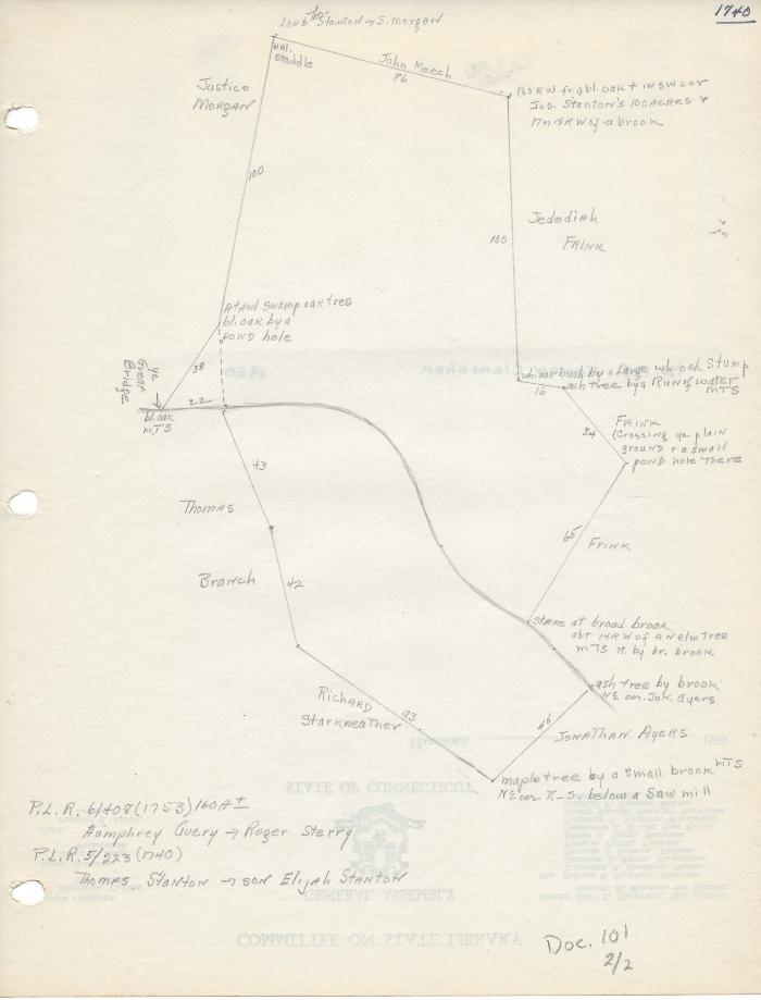
Two hand drawn land drawings in pencil with three-hole- punches on the left hand side of each. One is dated 1740 and the other is undated. The 1740 drawing has a photo taped to the back of the Konon Klemchuk home in 1950.
Two hand drawn land drawings in pencil with three-hole- punches on the left hand side of each. One is dated 1740 and the other is undated. The 1740 drawing has a photo taped to the back of the Konon Klemchuk home in 1950.
Coll. 003 Vol. 002 Doc. 101