Kalnitzky's Long Society Lot Map
1765 (Earliest/Latest dates)
1938 (Earliest/Latest dates)
1938 (Earliest/Latest dates)
pencil and ink on paper
16.75 in H
X
11 in W
Measurement Notes: measurements are of map unfolded
Coll. 003 Fold. 069 Image. 001 Kalnitzky's Long Society Lot Map
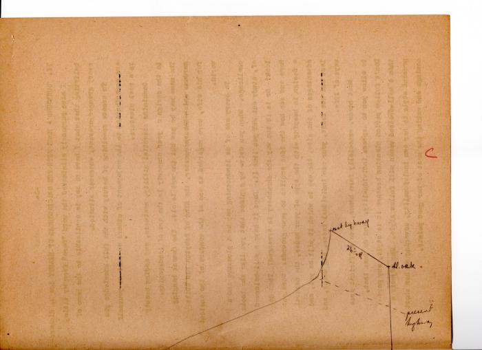
Lot map drawn at the back of two unrelated typed pages. Appears glued together.
Lot map drawn at the back of two unrelated typed pages. Appears glued together.
Coll. 003 Fold. 069 Doc.. 001