Large Map of Long Society 1723-1838
1723 – 1838 (Earliest/Latest dates)
18" H
X
24" W
Measurement Notes: five pages glued together
Coll. 003 Fold. 069 Doc. 017 Large Map of Long Society 1723-1838
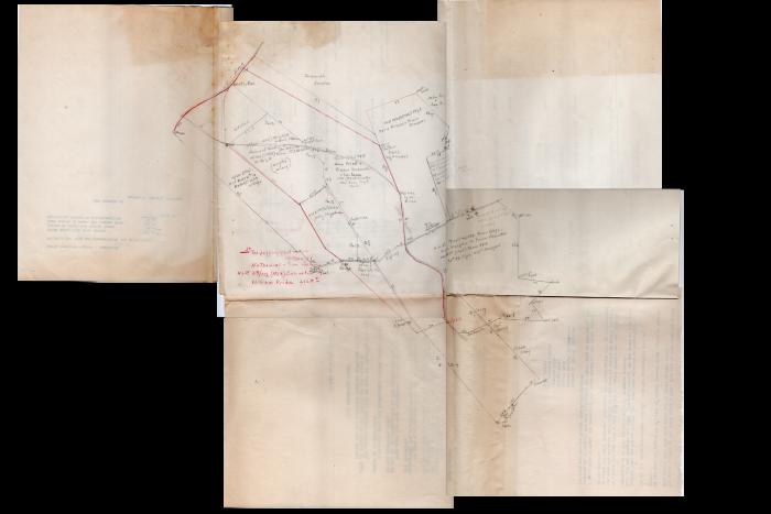
One large hand drawn map consisting of five letter-sized papers being glued together. The map is in red and black pencil showing ownership of property and some dates.
One large hand drawn map consisting of five letter-sized papers being glued together. The map is in red and black pencil showing ownership of property and some dates.
Coll. 003 Fold. 069 Doc. 017