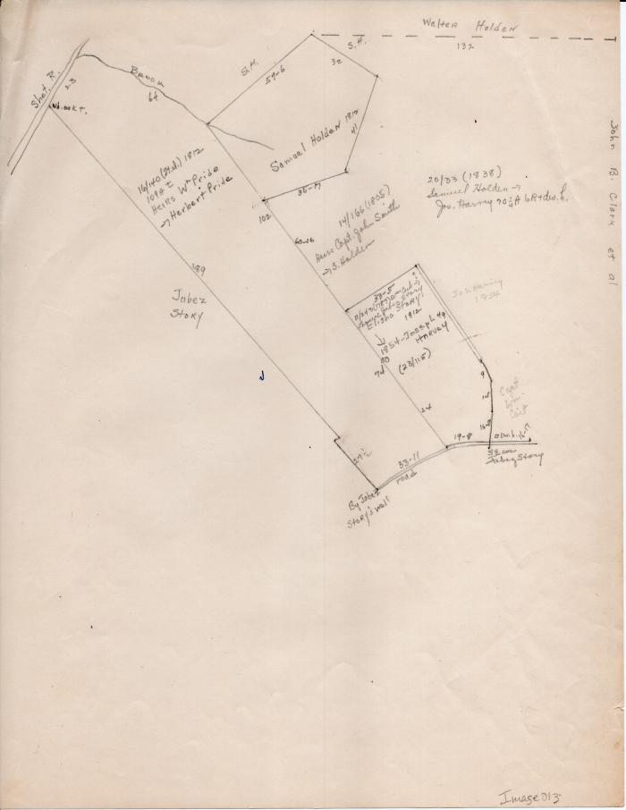
Map of Long Society property lines c. 1812
1787 (Earliest/Latest dates)
1854 (Earliest/Latest dates)
1854 (Earliest/Latest dates)
Pencil on paper
11 in H
X
8.5 in W
Coll. 003 Fold. 069 Doc. 013 Map of Long Society property lines c. 1812
Map drawn in pencil. Back of paper in blank.
Map drawn in pencil. Back of paper in blank.
Coll. 003 Fold. 069 Doc. 013