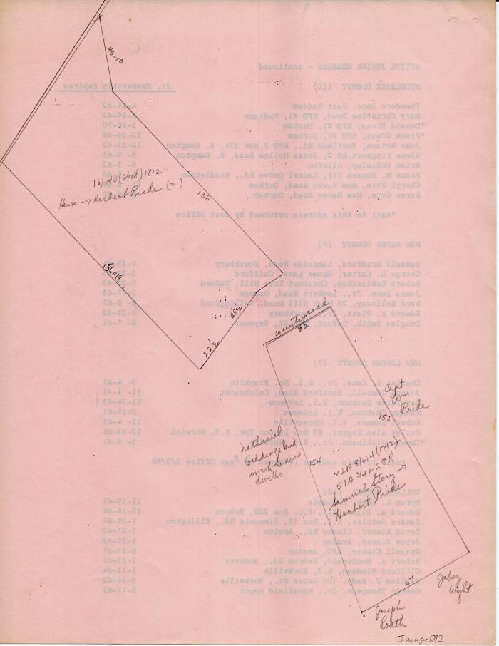
Maps of Long Society property lines c. 1742 and 1812
1742 (Earliest/Latest dates)
1812 (Earliest/Latest dates)
1812 (Earliest/Latest dates)
pencil and ink on pink paper
11 in H
X
8.5 in W
Coll. 003 Fold. 069 Image. 012 Maps of Long Society property lines c. 1742 and 1812
Two maps hand drawn in pencil on the back of a list of junior members of an unknown organization. Paper is pink.
Two maps hand drawn in pencil on the back of a list of junior members of an unknown organization. Paper is pink.
Coll. 003 Fold. 069 Doc. 012