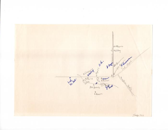
Map of Brown et al. homes corner of Shewville & Indiantown Roads
pencil and ink on paper
6 in H
X
9 in W
Coll. 003 Fold. 070 Doc. 002 Map of Brown et al. homes corner of Shewville & Indiantown Roads
Map drawn in pencil with labels in pencil and blue ink. Shows locations of 19th century homes and landmarks near the intersection of Shewville, Indiantown, and Iron in Ledyard. Back is blank.
Map drawn in pencil with labels in pencil and blue ink. Shows locations of 19th century homes and landmarks near the intersection of Shewville, Indiantown, and Iron in Ledyard. Back is blank.
Coll. 003 Fold. 070 Doc. 002