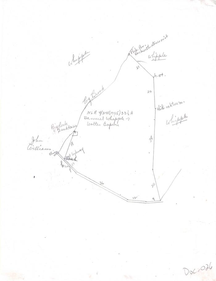
Whipple to Capron land drawing
1725 (Earliest/Latest dates)
11" H
X
8.5" W
Coll. 003 Fold. 075 Doc. 026 Whipple to Capron land drawing
One letter-ized beige paper with irrelevant information on the back. Document is a hand-drawn map of the land going from Samuel Whipple to Walter Capron in 1725. Taken from New London Records Vol. 4, p. 271.
One letter-ized beige paper with irrelevant information on the back. Document is a hand-drawn map of the land going from Samuel Whipple to Walter Capron in 1725. Taken from New London Records Vol. 4, p. 271.
Coll. 003 Fold. 075 Doc. 026
