Lot Diagram #380-381
1810 (Earliest/Latest dates)
8.5" H
X
11" W
Coll. 003 Fold. 091 Doc. 008 Lot Diagram #380-381
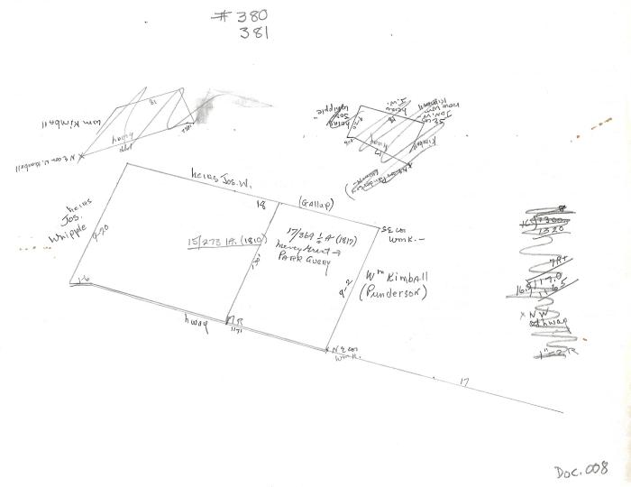
One letter-sized white paper with a lot diagram, above and to the right there are both diagrams and a math problem that have been crossed out. The diagram is pencil drawn. This document shows land division and size for areas in Poquetanuck.
One letter-sized white paper with a lot diagram, above and to the right there are both diagrams and a math problem that have been crossed out. The diagram is pencil drawn. This document shows land division and size for areas in Poquetanuck.
Coll. 003 Fold. 091 Doc. 008